Surveying Services

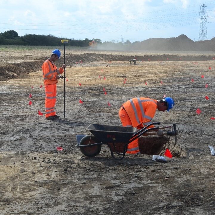
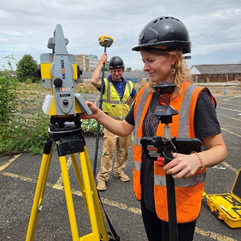
[vc_row type=”full_width_background” full_screen_row_position=”middle” column_margin=”default” equal_height=”yes” content_placement=”middle” column_direction=”default” column_direction_tablet=”default” column_direction_phone=”default” bg_color=”#f4f4f4″ scene_position=”center” text_color=”dark” text_align=”left” row_border_radius=”none” row_border_radius_applies=”bg” overflow=”visible” overlay_strength=”0.3″ gradient_direction=”left_to_right” shape_divider_position=”bottom” bg_image_animation=”none” gradient_type=”default” shape_type=””][vc_column column_padding=”padding-5-percent” column_padding_tablet=”inherit” column_padding_phone=”inherit” column_padding_position=”top-right” column_element_direction_desktop=”default” column_element_spacing=”default” desktop_text_alignment=”default” tablet_text_alignment=”default” phone_text_alignment=”default” background_color=”#f4f4f4″ background_color_opacity=”1″ background_hover_color_opacity=”1″ column_backdrop_filter=”none” column_shadow=”none” column_border_radius=”none” column_link_target=”_self” column_position=”default” gradient_direction=”left_to_right” overlay_strength=”0.3″ width=”1/2″ tablet_width_inherit=”default” animation_type=”default” bg_image_animation=”none” border_type=”simple” column_border_width=”none” column_border_style=”solid” column_padding_type=”default” gradient_type=”default”][vc_row_inner content_placement=”middle” column_margin=”none” column_direction=”default” column_direction_tablet=”default” column_direction_phone=”default” text_align=”left” row_position=”default” row_position_tablet=”inherit” row_position_phone=”inherit” overflow=”visible” pointer_events=”all”][vc_column_inner column_padding=”no-extra-padding” column_padding_tablet=”inherit” column_padding_phone=”inherit” column_padding_position=”all” column_element_direction_desktop=”default” column_element_spacing=”default” desktop_text_alignment=”default” tablet_text_alignment=”default” phone_text_alignment=”default” background_color_opacity=”1″ background_hover_color_opacity=”1″ column_backdrop_filter=”none” column_shadow=”none” column_border_radius=”none” column_link_target=”_self” overflow=”visible” gradient_direction=”left_to_right” overlay_strength=”0.3″ width=”1/1″ tablet_width_inherit=”default” animation_type=”default” enable_animation=”true” animation=”fade-in-from-bottom” animation_easing=”default” bg_image_animation=”none” border_type=”simple” column_border_width=”none” column_border_style=”solid”][nectar_animated_title heading_tag=”h2″ style=”color-strip-reveal” color=”Accent-Color” text=”Surveying Services”][vc_column_text css=”.vc_custom_1676561114707{padding-top: 20px !important;}”]PCA offers a wide range of measured survey and landscape investigation services. We are able to undertake fieldwork on monuments, sites and landscapes in both urban contexts and rural areas, using a range of traditional and technological techniques as appropriate to the accuracy, scale and final output with cost and efficiency in mind. We offer:[/vc_column_text][divider line_type=”No Line” custom_height=”15″][fancy-ul icon_type=”standard_dot” alignment=”left” spacing=”default”]

  • Topographical survey to provide a geographical context, aid understanding and interpretation of a site or its components’ location
  • Urban townscape assessment and recording
  • Parkland surveys to understand the development of the park and record earlier activity in the form of deserted settlements and agricultural vestiges
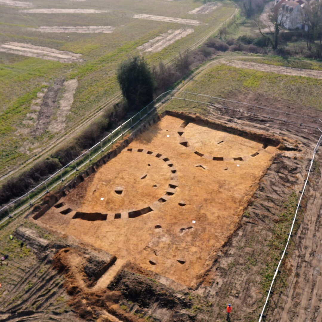
  • Large scale recording providing full detail and analysis of earthwork features
  • Archaeological survey of gardens to record extant and lost features and identify past phases in the garden’s development
  • Small scale recording and rapid assessments of large areas of landscape
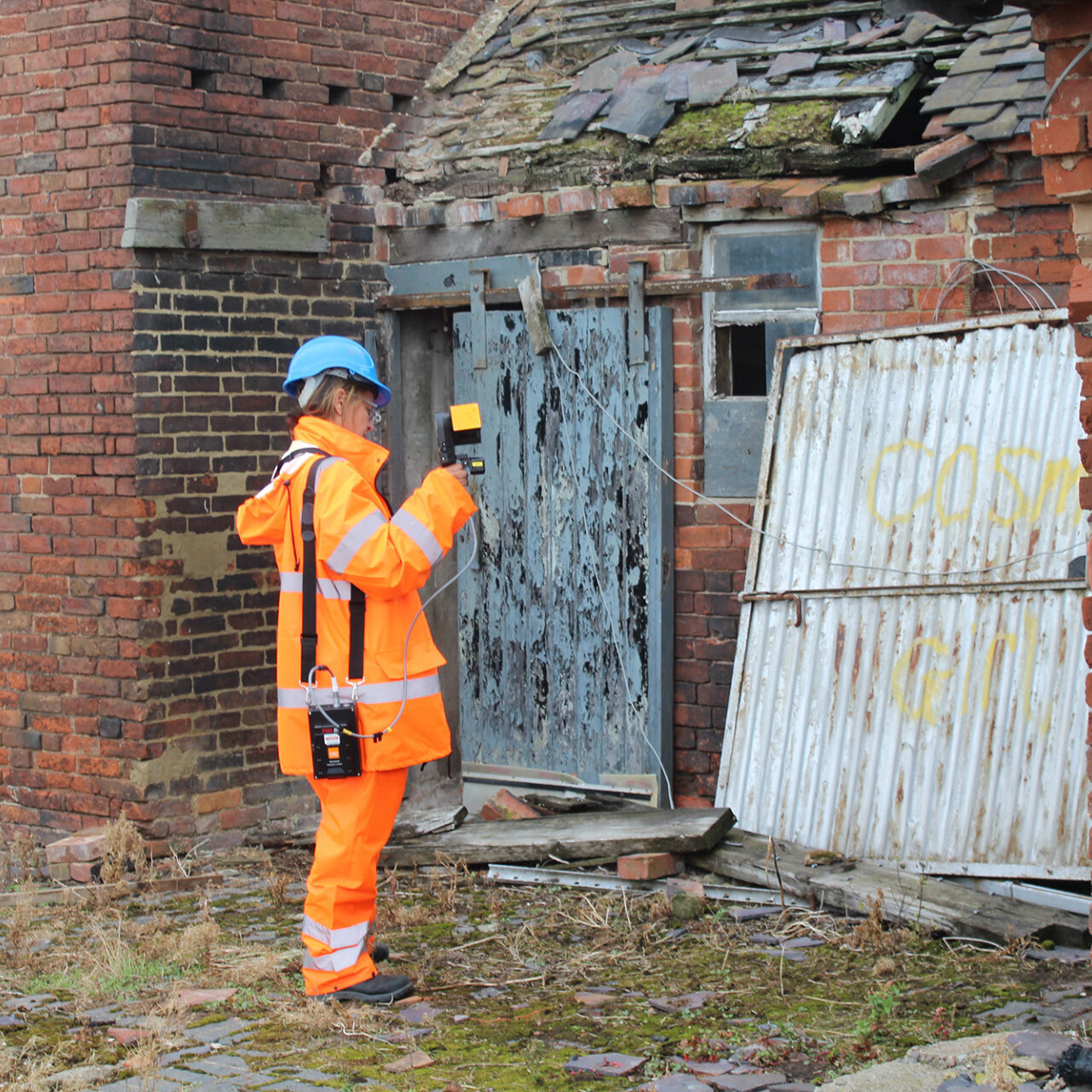
  • Integration of features into their landscape, working together with the building recording and photography teams

[/fancy-ul][vc_column_text]The results can be provided as raw or processed data, as CAD drawings or as part of a GIS. Additional work may be carried out in the form of documentary research and map regression, in order to provide a full analysis and interpretation in the form of a report, which may lead to a publication.[/vc_column_text][divider line_type=”No Line” custom_height=”50″][/vc_column_inner][/vc_row_inner][/vc_column][vc_column column_padding=”no-extra-padding” column_padding_tablet=”inherit” column_padding_phone=”inherit” column_padding_position=”all” column_element_direction_desktop=”default” column_element_spacing=”default” desktop_text_alignment=”default” tablet_text_alignment=”default” phone_text_alignment=”default” background_color_opacity=”1″ background_hover_color_opacity=”1″ background_image=”12546″ background_image_position=”center center” background_image_stacking=”default” enable_bg_scale=”true” background_image_loading=”default” column_backdrop_filter=”none” column_shadow=”none” column_border_radius=”none” column_link_target=”_self” column_position=”default” gradient_direction=”left_to_right” overlay_strength=”0.3″ width=”1/2″ tablet_width_inherit=”default” animation_type=”default” bg_image_animation=”none” border_type=”simple” column_border_width=”none” column_border_style=”solid” column_padding_type=”default” gradient_type=”default”][/vc_column][/vc_row]