
Drone survey Aerial survey, digital recording and landscape investigation
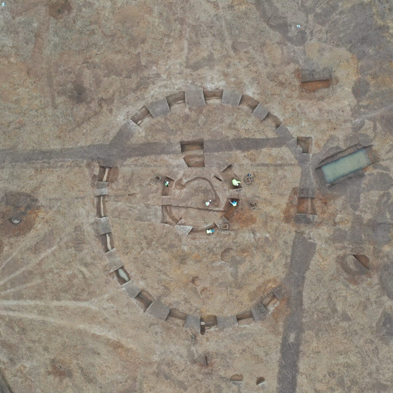
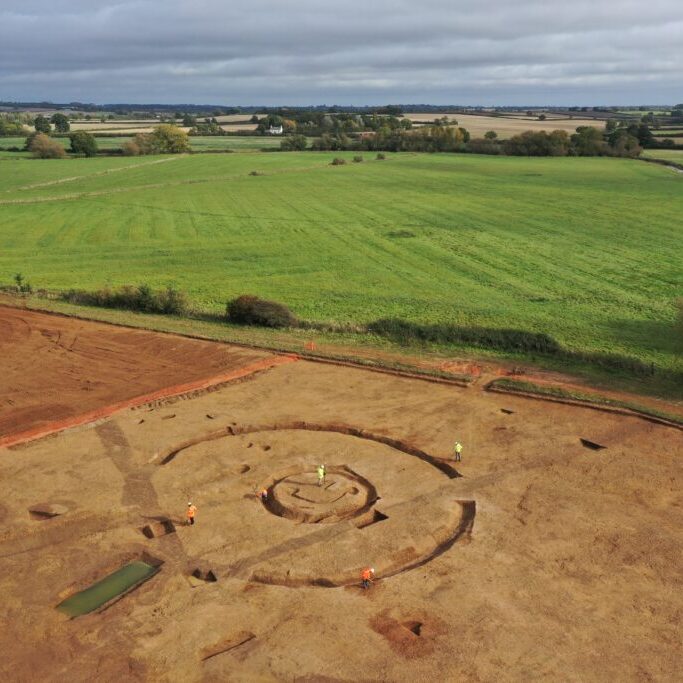
PCA uses drone technology to capture detailed aerial imagery of archaeological sites, monuments and landscapes. Aerial survey provides a valuable record of site conditions and features, helping to document their form, setting and relationship to the surrounding landscape.
Aerial imaging and digital recording
Our UAS services include:
- Aerial topographic survey including accurately georeferenced digital elevation models (DEM)
- Measurable and accurate georeferenced 3D models and point clouds
- Orthographic maps
- Contour maps
- Multispectral imaging
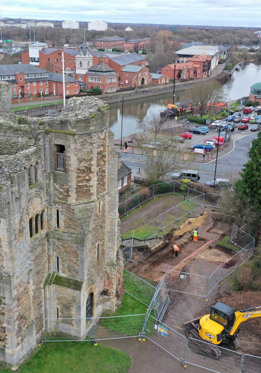
These methodologies help our capable field teams to coordinate their excavation strategies, as well as assisting our Survey and Built Heritage teams to record features and structures in a cost effective and efficient manner.
We possess Operational Authorisation from the CAA to undertake UAS work in in a safe manner as well as all the relevant EC785/2004 compliant insurances. Our Drone Operator Ryan is experienced and fully qualified (GVC and A2 CofC).
Talk to the team Interested in drone survey for your project? Talk to the team about your requirements.