Accurate recording
Our survey team provides precise, reliable recording services for archaeological sites, historic buildings and landscapes. Combining specialist expertise with the latest survey technology, we capture the spatial data needed to support investigation, planning, conservation and research.
From measured surveys to aerial recording and 3D laser scanning, we deliver tailored solutions that provide an accurate record at every stage of a project.
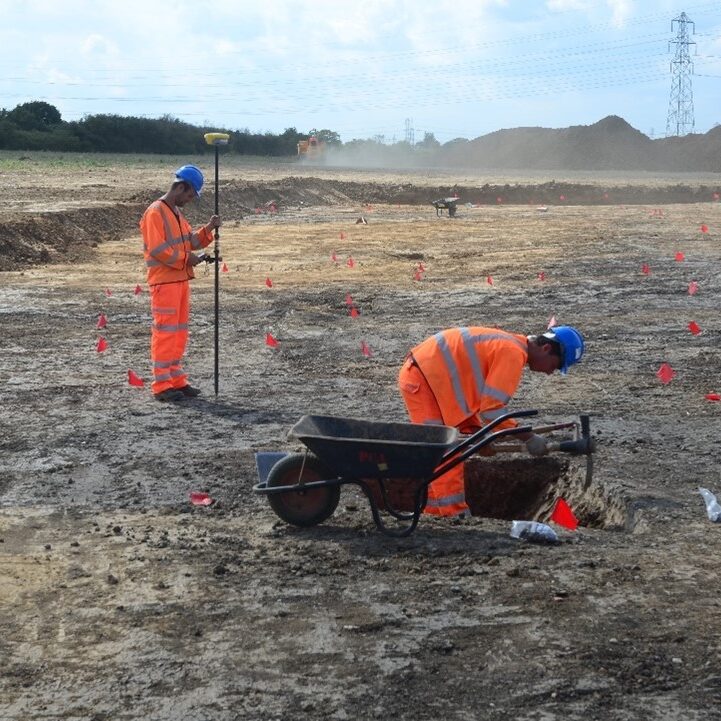
Site survey
Measured surveys that accurately record archaeological features, excavations and earthworks, providing the spatial data needed for analysis and interpretation.
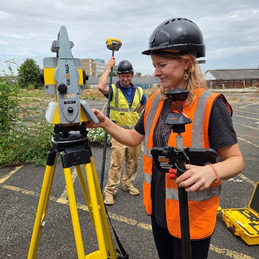
Landscape survey
Topographic and landscape surveys that record earthworks, monuments and historic landscapes to support investigation, conservation and management.
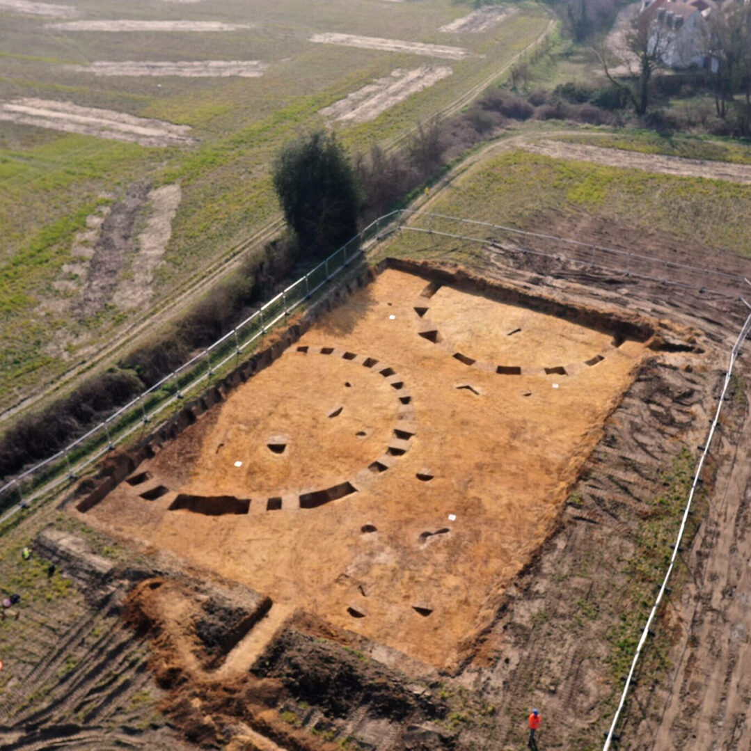
Drone survey
High-resolution aerial photography, mapping and photogrammetry for the rapid, accurate recording of archaeological sites and landscapes.
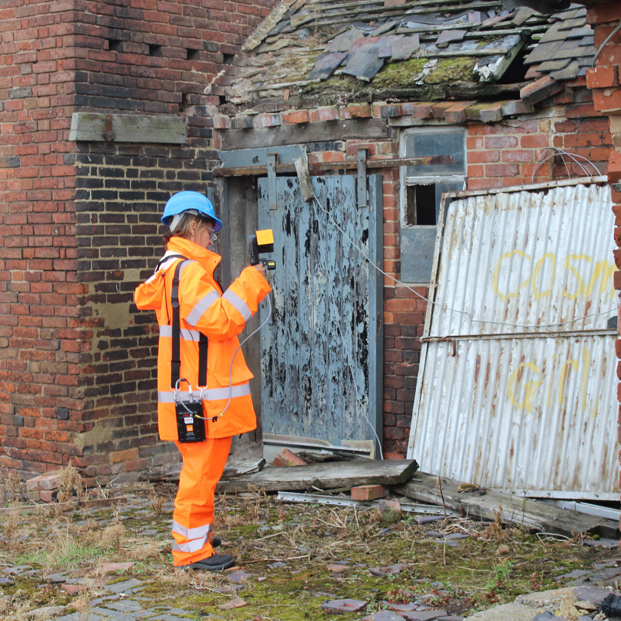
Laser scanning
High-precision 3D laser scanning for the detailed recording of archaeological sites, historic buildings and complex structures, producing accurate digital records and survey data.
PCA is a company that delivers on time, on budget and to an exceptional standard. We are fastidious clients with high standards of professionalism, and we were totally impressed by your work. We would highly recommend them to others.
Phil Heaton
Hass Homes