Strip, map & sample Mapping and investigating archaeological remains across a wider area
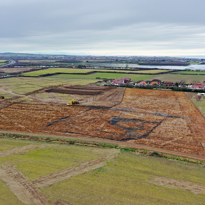
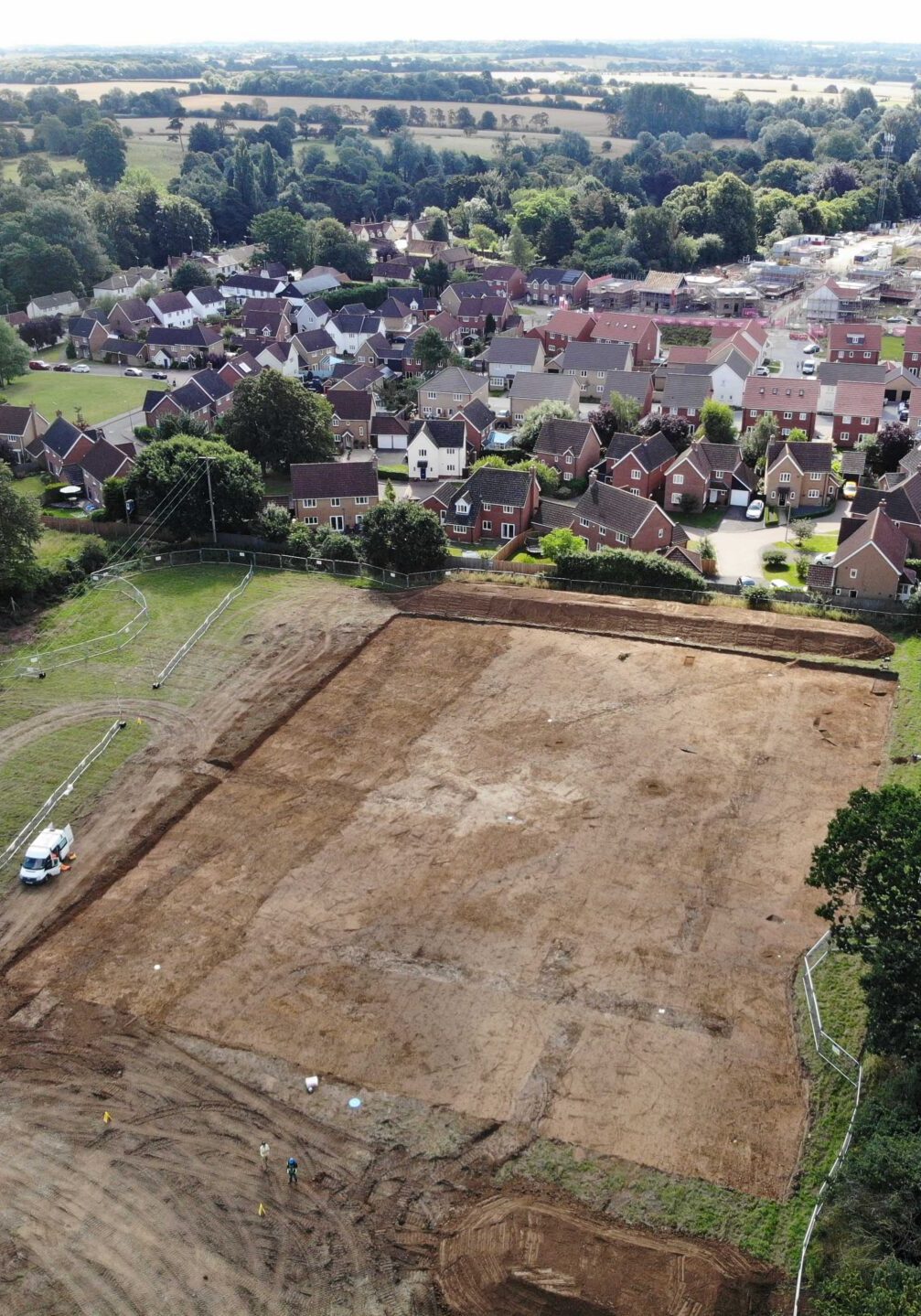
Strip, map and sample is a form of archaeological mitigation used where archaeological remains are expected across an area and understanding their distribution and relationships is important. The approach provides a broader view of the archaeology than targeted evaluation trenches, while allowing excavation to be focused where it is most informative.
Mapping before excavation
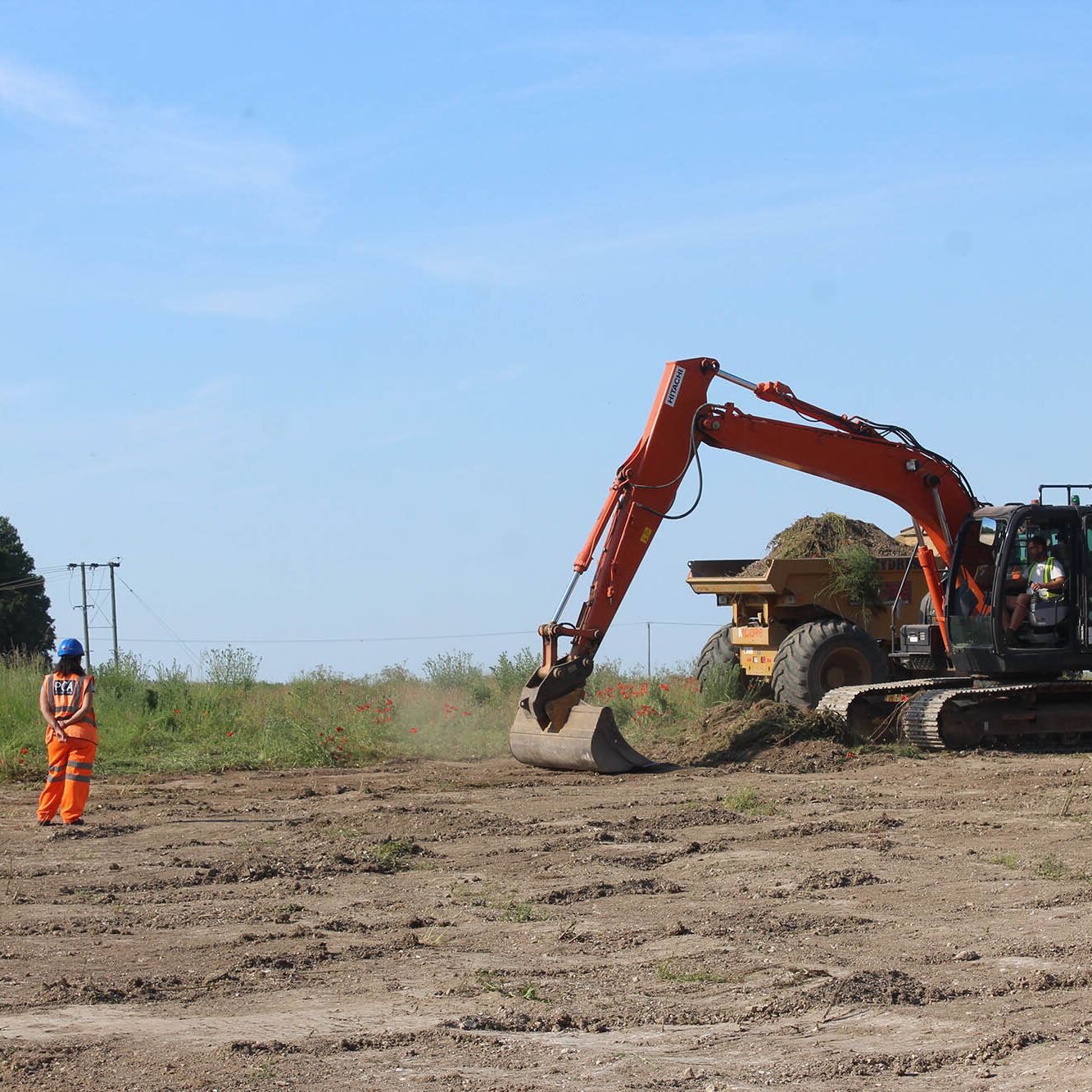
The overlying soil is carefully removed under archaeological supervision to expose the archaeological horizon. The exposed remains are cleaned, mapped and recorded, providing a plan of the archaeological features across the site. This information is then used to develop an appropriate sampling strategy, identifying which features should be excavated and recorded in greater detail.
The method can be particularly useful on larger sites where archaeological remains are widespread and their relationship across the site is important to understanding its development. PCA works with clients, contractors and archaeological advisors to coordinate the work with the development programme and agreed mitigation strategy.
Planning a project? Talk to PCA about Strip, map and sample and find out whether it is the right approach for your site.