
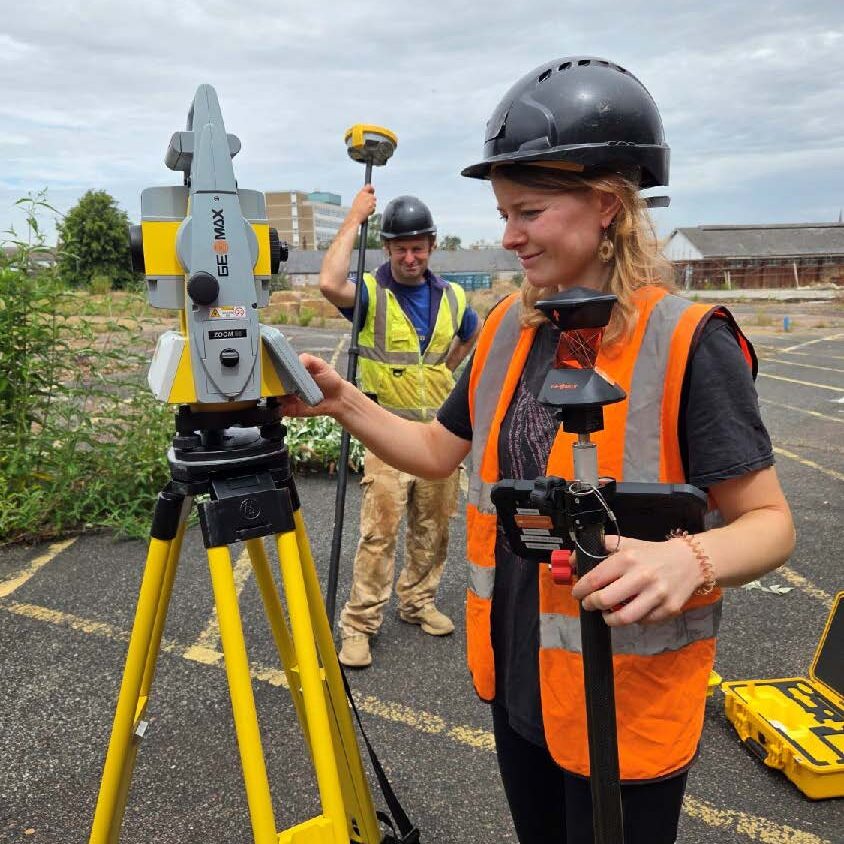
Archaeological Survey Measured survey, landscape investigation and digital recording
PCA undertakes archaeological surveys to record and assess archaeological remains, helping establish the character, extent and significance of a site and inform decisions about its future.
Survey, recording and analysis
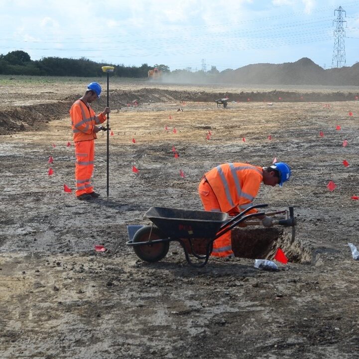
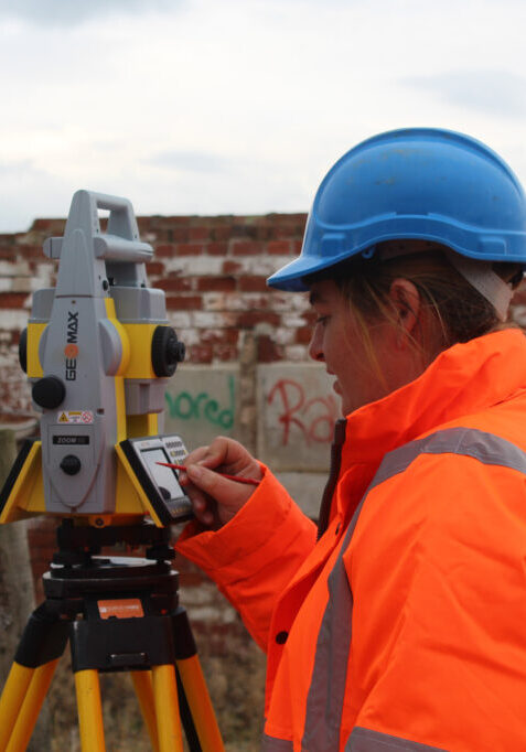
Our services include topographic and measured survey, analytical earthwork survey, landscape assessment, geospatial imaging and the processing and visualisation of LiDAR. We also provide advice on recording methods and can undertake landscape investigation ranging from rapid assessment to detailed field survey, analysis and interpretation.
Where appropriate, survey can be supplemented by geophysical techniques, including resistivity, magnetic susceptibility and ground-penetrating radar, to investigate potential below-ground remains. Survey results can be integrated with other archaeological work to provide a coordinated approach tailored to each project.
Talk to the team Need archaeological survey or landscape investigation for your project? Talk to the team about your requirements.