
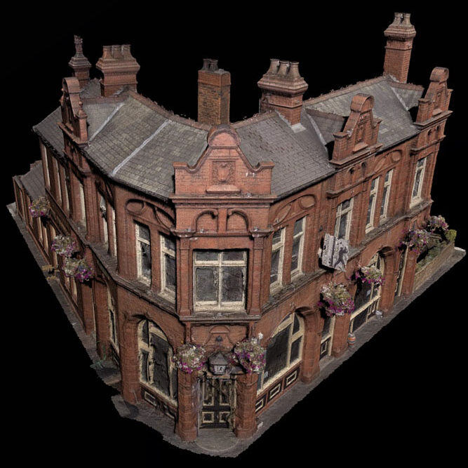
Digital building survey Accurate digital recording of buildings and structures using modern survey techniques
Considering archaeology and heritage at an early stage can help identify potential constraints, inform the design of a scheme and avoid delays later in the planning process. PCA provides practical advice and assessment to help you understand what may be required before a planning application is submitted.
From survey to digital record
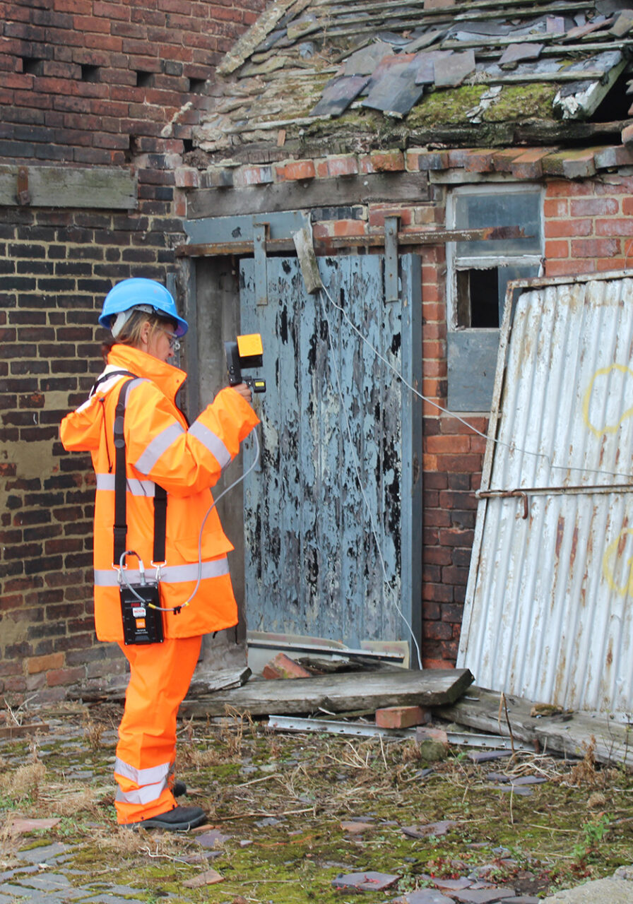
Our surveyors use techniques including laser scanning, total station and GNSS survey, with LiDAR and point-cloud processing where appropriate. The resulting data can be processed into detailed drawings, models, visualisations and other outputs suited to the requirements of the project.
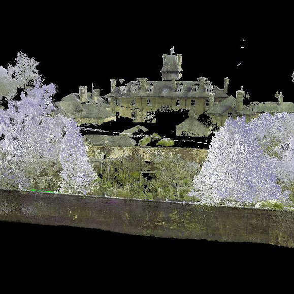
At the former Queen Elizabeth High School in Hexham, for example, PCA used laser scanning to record a historic walled garden and groundskeeper's cottage before demolition. The resulting point cloud provided a high-resolution digital record that could be viewed and analysed in three dimensions.
Our surveying, mapping and graphics specialists can work together from data capture through to presentation, allowing digital survey information to be incorporated into drawings, reports, interpretation and other project outputs.
Planning a project? Talk to PCA about your site and find out how we can help you understand its archaeological and heritage requirements.